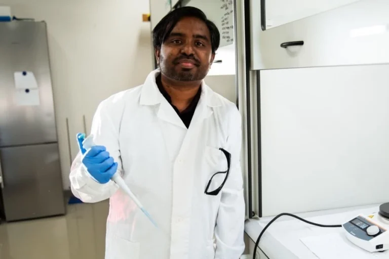
GNSS systems, such as GPS, Galileo, or BeiDou, help scientists monitor both anthropogenic and natural changes. Polish geodesist Radosław Zajdel explains the differences between the various methods and how we can use satellite data. Thanks to the MERIT program of the Central Bohemian Innovation Center, he is conducting this research at the Research Institute of Geodesy, Topography and Cartography (VÚGTK).
In your research, you work with data from Global Navigation Satellite Systems (GNSS), like GPS. What can these technologies be used for beyond the geolocation services offered by, say, a mobile phone?
GNSS is one of the fundamental geodetic techniques, based on receiving microwave signals from a constellation of orbiting satellites. In our research, we use it to accurately describe the shape and rotation of the Earth and their changes. For instance, we can measure local and global shifts of the Earth’s surface, changes in the gravitational field, or the Earth’s center of mass. GNSS measurements are also essential for monitoring large-scale mass distribution changes on Earth – such as in the atmosphere, hydrosphere, or glaciers.
GPS was the first system and has been in use since the 1990s. What other systems are there, and are they more advanced?
Scientifically speaking, GPS has certain limitations because it wasn’t originally designed for Earth science purposes but for military use. Over time, we realized these satellite systems could be applied in much broader ways.
As scientists, we continuously develop new applications for GNSS data. I see this as an ecological approach: we maximize the use of satellites already in orbit without needing to launch new ones. We’re looking for innovative applications for the existing infrastructure, which increases its value and minimizes environmental impact.
Parallel to GPS, Russia developed GLONASS. The European Union began launching Galileo satellites in 2011, with the full constellation completed in 2022. China began developing BeiDou slightly after Galileo, but thanks to rapid progress, it reached global operational capability around the same time.
Will these newer systems replace GPS?
Rather than replacing GPS, the goal is to verify whether new systems confirm the conclusions we’ve drawn from GPS. From both a user and scientific perspective, using multiple systems allows for more robust, accurate, and cross-validated observations. New systems like Galileo or BeiDou improve our ability to detect phenomena that were previously below GPS sensitivity, so the real value lies in integration, not replacement.
How do the systems differ from one another?
Each system has its specific characteristics or limitations. One might be better for monitoring short-term changes; another may detect small shifts in long-term processes.
Although GNSS constellations like GPS, Galileo, and BeiDou serve similar purposes, they differ in signal structure, orbital geometry, and other technical parameters. These subtle differences complicate data comparability and can make it difficult to determine whether observed anomalies are real geophysical phenomena or merely processing errors.
What makes the most widely used GPS system unique?
It’s designed to provide high repeatability – the satellite constellation returns to the same configuration relative to Earth every day, meaning it completes an orbit in 24 hours and returns to the same location. This simplifies positioning, but in some types of research, it can be limiting. For example, when trying to measure Earth’s rotation, a specific resonance occurs between satellite movement and planetary rotation, complicating result interpretation. That was one of the key findings of my dissertation.
What are you focusing on in your research?
I’m asking why different GNSS systems yield different measurements, focusing mainly on Galileo and BeiDou. To explore this, I use data from GNSS stations – devices firmly anchored to the Earth’s crust and equipped with sensitive receivers, allowing us to track even slight displacements. There’s a dense global network of such stations, enabling us to monitor changes in different regions, whether due to tectonic activity or long-term climate processes.
We then compare these ground measurements with data from other satellite systems. This helps us better understand which GNSS works best under specific conditions, identify inconsistencies, and work toward a more reliable synthesis of the “truth.” Our analysis can also provide valuable insights for improving GNSS themselves – satellites are constantly being upgraded, and system operators actively seek feedback from the scientific community.
But you also work with geophysical models. How do you connect them with your data?
We use GNSS data to validate models of natural processes created by colleagues in related fields. These include modeling ocean tides, atmospheric and hydrological changes, or long-term phenomena like the gradual uplift of the Earth’s crust after glacier retreat. If there are discrepancies between model outputs and real-world measurements, we need to determine whether the issue lies in the model or in the validation data.
That’s why we strive to understand what causes measurement deviations – whether they stem from a specific satellite system, regional specifics, or inaccuracies in the models. This understanding is vital for policymakers too. For instance, a 1 mm/year error in estimating sea level rise could mean the difference between stability and existential threat for entire coastal nations. Finding the truth isn’t just a scientific goal – it’s a societal necessity.
The fact that BeiDou and GLONASS are military systems from China and Russia raises security concerns. By pointing out flaws, are you helping improve these systems?
Definitely not. BeiDou and GLONASS are mostly passive systems – we receive the signal, analyze it, and extract information. I then assess the data. The problem with these, as well as GPS, is the lack of detailed technical information, which complicates scientific use of the data, which are essentially by-products of the systems’ primary purposes.
Why did the EU decide to create its own Galileo system, and how much did it cost?
The EU created the Galileo satellite system to ensure independence from the U.S. GPS and Russian GLONASS. Galileo’s goal is to provide a civilian-controlled navigation service with high accuracy. This strategic move enhances security, accuracy, and reliability for both public and commercial users.
Galileo is fully funded by the EU through taxpayer money from all member states. According to the European Space Agency (ESA), infrastructure costs reached €3.2 billion. However, total costs may be as high as €10 billion, according to some sources. Annual operating costs are around €800 million, including expenses for replacement satellites.
From my perspective, Galileo represents one of Europe’s most effective strategic initiatives. For EU citizens, it amounts to about €7 per person over the entire development phase – roughly the price of a coffee every few years – in exchange for strategic independence and the world’s most accurate navigation system, serving 4 billion users worldwide.
Galileo was developed as a civilian system from the beginning. So you have access to its technical specifications?
Exactly. And that allows us to perform very precise measurements and reduce the number of uncertainties we have to estimate alongside what we’re trying to measure. For example, in the past we couldn’t model the forces acting on satellites in detail because we lacked precise construction data – we didn’t know their exact dimensions, materials, or orientation in orbit. Now we do, which helps us better understand the forces acting on satellites in space. Information about Galileo satellites is available even to scientists outside ESA, so everyone can provide feedback to improve the system.
Can operators influence the quality of the satellite signal?
To some extent, yes. For instance, in the early days of GPS, there was something called Selective Availability, where U.S. authorities deliberately degraded signal accuracy. But geodesists found a workaround – they started using the carrier phase of the signal instead of the code, achieving much higher precision despite the artificially introduced noise.
You’re one of the recipients of the MERIT fellowshiú from the Central Bohemian Innovation Center (SIC). How did your path lead to the Research Institute of Geodesy, Topography and Cartography (VÚGTK)?
In 2021, I completed my PhD in space and satellite geodesy at Wroclaw University of Environmental and Life Sciences, where I was already exploring GNSS applications in geosciences. My first postdoctoral position was at the German Aerospace Center (DLR) in Oberpfaffenhofen near Munich, followed by a stint at GFZ Potsdam. I was honored to receive several awards for my work – in 2022, I was named one of the top five Polish scientists under 30. One of my articles was awarded Best Young Author Geodesy Paper of 2021.
Why did you choose VÚGTK?
Over the years, I’ve been involved in numerous international collaborations, including with the Geodetic Observatory Pecný, part of VÚGTK. I was involved in multiple international grant proposals, including some with Jan Douša, who leads the observatory. He informed me about the MERIT fellowship opportunity, which I successfully applied for. I arrived in April 2024, and the fellowship runs through September 2026.
What do you consider your biggest achievement under the MERITfellowship, and what do you still want to accomplish?
In the first year, I focused on collaboration with the International GNSS Service – my efforts led to the development of software, reports, and procedures that will benefit GNSS users long-term. This year, I formalized cooperation with the European Space Agency, securing new expert data and insights for our project.
We also launched a new and exciting partnership with Japan’s Geospatial Information Authority (GSI) – we’re using their ultra-dense GNSS receiver network to demonstrate the benefits of Galileo for monitoring hydrological changes in Japan. This diverse project has several branches, each offering unique development opportunities. In addition, I’m taking my first steps in commercialization strategy – a completely new area for me, but I’m optimistic that ESA BIC Czech Republic provides a supportive environment to begin that journey.